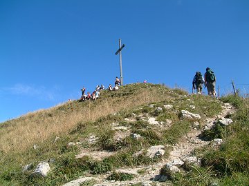
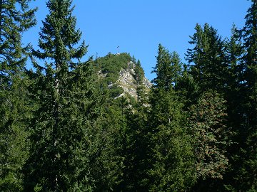
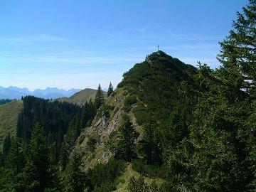
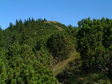
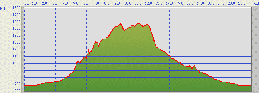
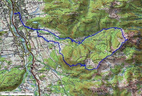
Seekarkreuz (1601m) is a gentle mountain for family hiking located near of Lenggries.
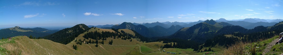
The tour includes further 3 peaks; Spitzkamp, Auerkamp and Ochsenkamp.
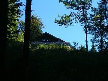
Lenggrieser hut shortly under the peak of Seekarkreuz is also worth to visit.
(c)Bayerische
Vermessungsverwaltung
ÅiÇsÇnÇoÇTÇOÅj
The track was logged by GPS and transferred to the map by editrex2
The route is marked clearly from the Lenggries station. Hochenburg
parking is about 2km from the station.
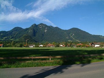
Now going into the village Muehlbach, you will find a sign to go into
the field bound to Seekar.
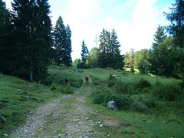
After the end of the field, the way continues into the forest getting
steepeness. After long traverse to east, Lenggries hut appears on your
left side.