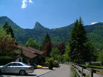
A hidden highest peak in the south area of Tegernsee Risserkogel (1826m) showed almost all the surrounding pre-alpine mountains and nice view on the Austrian alpine. The neighboring Blankenstein shows also amazing wild rock figure.
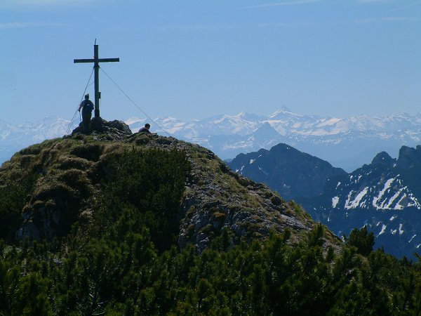
Gr.Glockner(3798m) is just behind Schinder (1808m) ,the next mountain on the border.
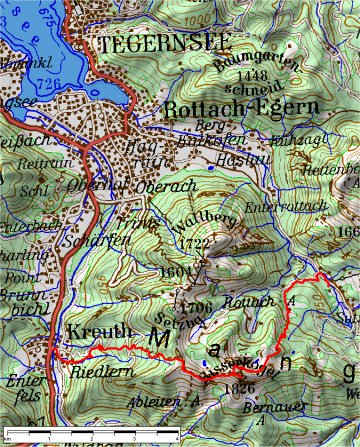
Map:TOP50 ©Bayerische Vermessungsverwaltung
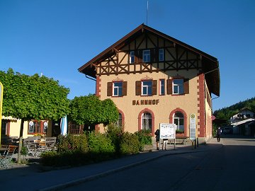 The station Tegernsee was build in 1902. It was planed to connect the railway to Achen valley in Austria. |
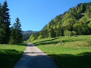 Get off the bus at "Kistenwinterstube" (950m) and start hiking up. |
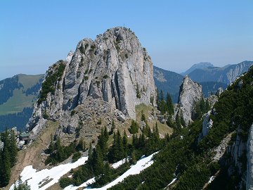
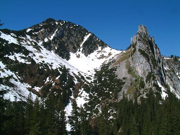 After about 1.5h going through forests and fields, today's goal Risserkogel (left) and Blankenstein (right) becomes suddenly visible. |
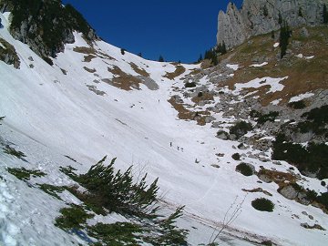 Snow field with avalanche trace is waiting. |
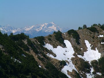 Zugspitze (2692m) from the saddle above the snow field. |
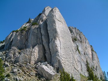 This remarkable rock mountain is called also as "Plankenstein". The second stone blade is broken and leaning against the mountain. |
 Leaving from the top of Risserkogel in west. |
 LeonhardtsteinÅi1452mÅj in Kreuth (772m) may be the next mountain? |
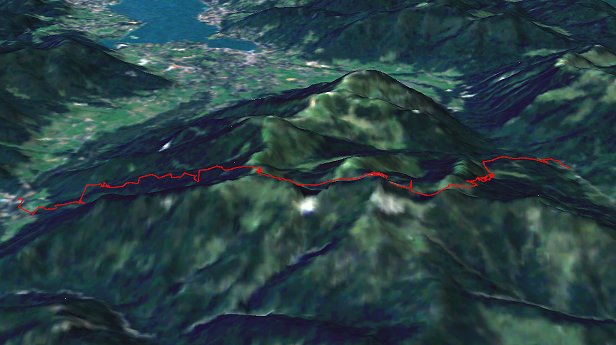
The start point Rottach valley (right) and the end point Kreuth (left).
Data:
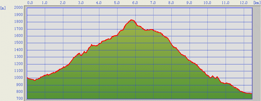
26.05.2005
Uphill: about 2.4h
Downhill: about 2.2h
Difficulty: Easy with one steep climbing guided with several steal ropes at the north side of Risserkogel.
26.05.2005
Uphill: about 2.4h
Downhill: about 2.2h
Difficulty: Easy with one steep climbing guided with several steal ropes at the north side of Risserkogel.
[Back to Hiking]