Schönberg


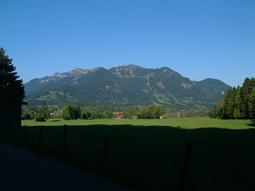
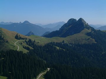
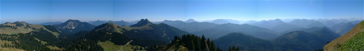
Schönberg (1620m) is the neighbor mountain of Seekarkreuz (1601m).
Schönberg itself does not provide any challenge, but the way to Seekarkreuz seems to be much more interesting.

 
(c)Bayerische Vermessungsverwaltung  i‚s‚n‚o‚T‚Oj
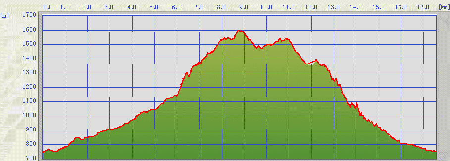
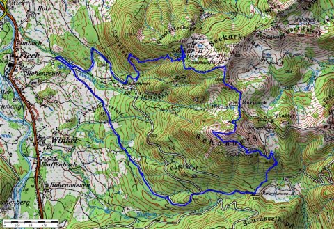
The track was logged by GPS and transferred to the map by editrex2

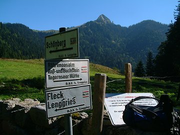
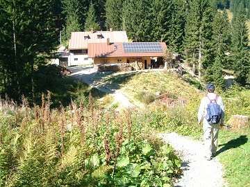
We start from the parking at the end of the village Fleck.
After long walk in the forest way to the south face of Schönberg, we come to Röhrelmoos-Alm where Roßstein appears like a pyramid.
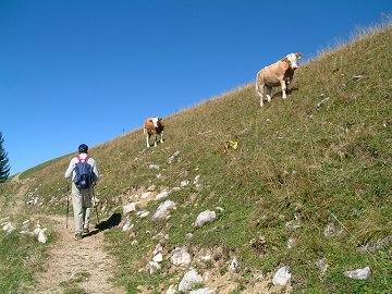
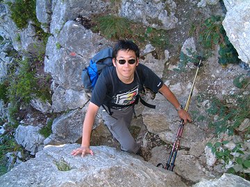
Looking for marked trees and signs, we climb up on the steep terrain, sometime in the small river.
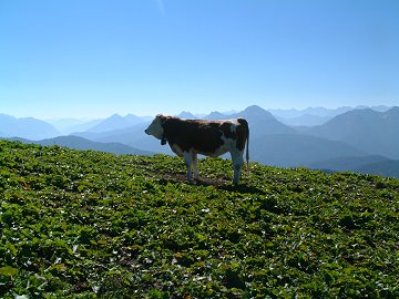
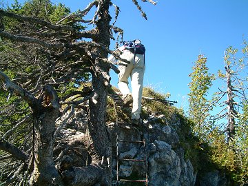
Then we find a jeep road to Schönberg-Alm. The mountain is almost occupied by cows.


Brauneck seen from Fleck

Röhrelmoos-Alm and Roßstein

Schönberg-Alm

Schönberg is almost occupied

Risserkogel, Buch- and Roßstein

Interesting way between rocks

Rock climbing after Mariaeck

The last passage is equipped with ladder

Lenggrieser hut

Kaiserschmarren


From the peak of Schönberg, now we go down to the steep terrain Mariack, where we find a way down to Fleck and further connection to Seekarkreuz, which is only for "trained".
After few minutes walk, we start a small rock climbing adventure. There is really a critical place, you find no utilities like steel rope. It would be very uncomfortable if the rock is wet.
If you find a steel ladder, it is the end of the climbing and you will soon find Seekarkreuz and the way down to Lenggrieser hut.


Data:
22.09.2006
Fleck (735m, 09:10) -> Röhrelmoos-Alm (1100m, 10:50) -> Schönberg (1620m, 12:40)
Schönberg (13:00) -> Mariaeck (1469m, 13:20) -> Lenggrieser hut (1338m, 14:25)
Lenggrieser hut (15:20) -> Fleck (16:45)
[Back to Hiking]