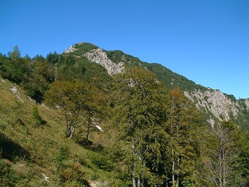
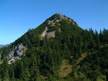
Schildenstein located at the west end of Blauberge has two different characteristics;
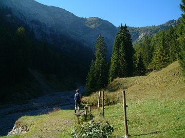
a family friendly hiking route from west and a little climbing from east.
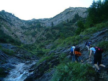
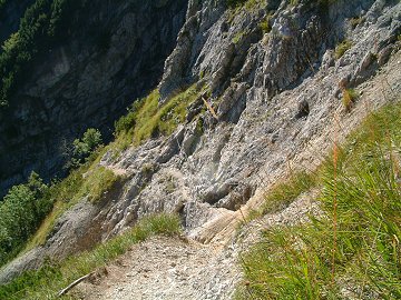
Normally it is easier to climb up along a steep terrain rather than to go down.
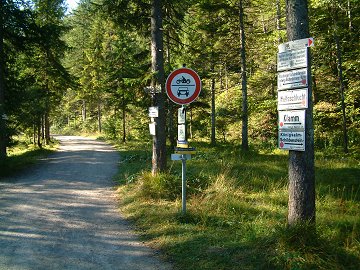
So today I tried to climb up from the east "Wolfsschlucht = Wolf Canyon" side.
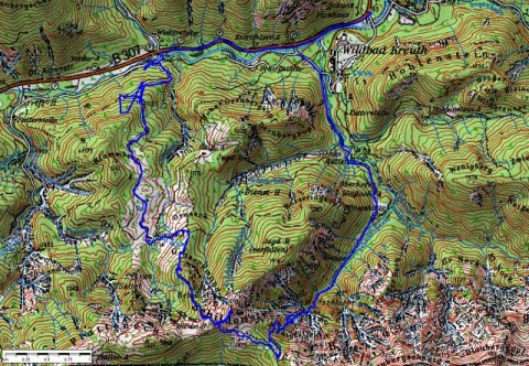
(c)Bayerische
Vermessungsverwaltung
ÅiÇsÇnÇoÇTÇOÅj
The track was logged by GPS and transferred to the map by editrex2