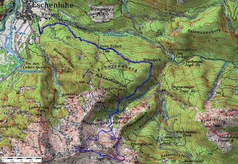
Eschenlohe is a beautiful small village at the Loisach river and nearly at the end of the freeway 95.
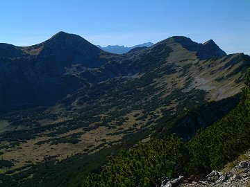
Ester mountains are located in the south direction from Eschenlohe.
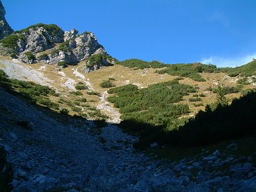
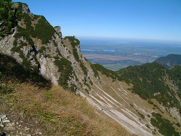
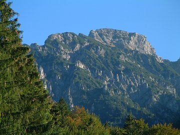
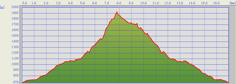
One of the attractive and the most easy to climb peak is Hohe Kisten (1922m).
Hohe Kisten looks like just a group of boxes put on the mountain due to its rocky upper part.
(c)Bayerische
Vermessungsverwaltung
ÅiÇsÇnÇoÇTÇOÅj
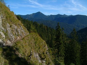
The route starts from the end of the village as a forest road.
Many mountain bikers are also on the way.
This road goes also to the south face of Hohe Kisten.
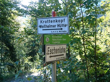
After about 1 hour 15 minutes, you will find the panel indicating
Krottenkopf and Hohe Kisten.
After going through a steep path equipped with a steel rope, you will
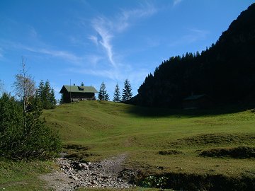
find a large field and small hunter huts.
Then the highlight begins.