Achselköpfe


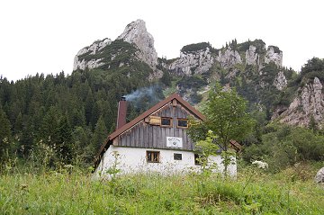
The river Isar from Karwendel mountain group unifies the river Loisach from Garmisch, at the place near Wolfratshausen, a town located in south of Munich. The mountain group of Benediktenwand (1800m) is just between these two rivers as the north end of the front alpine looking down the flat land in north.
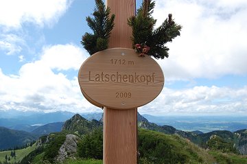
Achselköpfe are some rocks as the east neighbours of the Benediktenwand.   

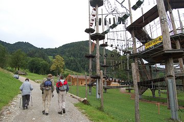
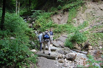
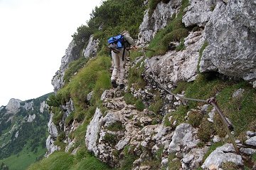
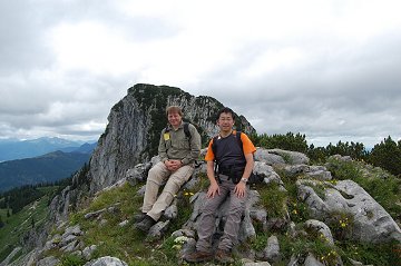
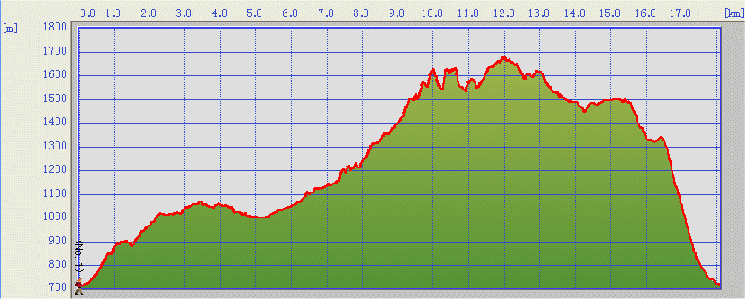
We went up from Lenggries towards the Benediktenwand.


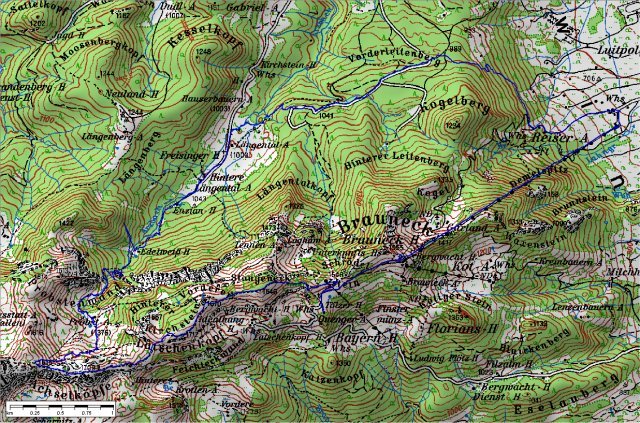
(c)Bayerische Vermessungsverwaltung  (TOP50)


Seil garden in trend

Going into the forest across as mall stream

Probst-Alm-hut 1375m

Now at the steep wall

On the first rock with Benediktenwand on the background

Steinbock - mountain goat - (released one)

Latschenkopf with a flat top

Deep in a sleep


Zig-zag rocks are seen in the middle. The last slope is by the cabin.

Data:
19.07.2009
Brauneck Parking (710m, 9:00) -> Längental-Alm (1003m, 10:30) -> Probst-Alm (1375m, 12:00) -> Achselkoeppe (1709m, 13:00)
-> Latschenkopf (1712m, 14:00) -> Tölzer-Hütte(1462m, 15:00)
Tölzer-Hütte(16:00)-> Brauneckbahn Bergstation (1497m, 16:30)

[Back to Hiking]